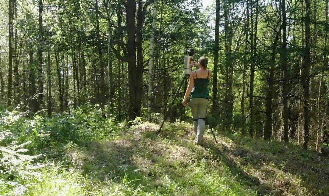
In order to study the methodology of the earlier mine operators, laser scanning was necessary in the Fortuna adit, from which copper, tin and silver had been extracted until the 19th century. After the scan in the valley, a metrological route was laid to the summit to the White Rock in order to establish a triangular network there (trigonometric point), a prerequisite for stable geodetic work. The massive rock “Black Rock” and its surroundings were scanned with laser equipment to obtain an exact surface profile. The intention is namely to combine the metrological measures into a 3-D animation of the mountain massif with the two mines and all artificial interventions. Only then were various georadars with different measuring depths and accuracies used. Once the measurement areas and corridors had been cleared, they could be easily navigated. The suspicion that a tunnel had been driven into the rock here, i.e. that there was a mine, was confirmed very early on.
The measurement work